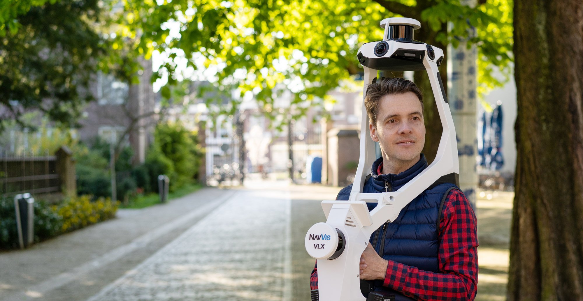
As the core product of the reality capture industry, NavVis VLX 3 takes your laser scanning workflow to a whole new level, pushing the boundaries of the reality capture field and expanding your scanning.
Product advantage
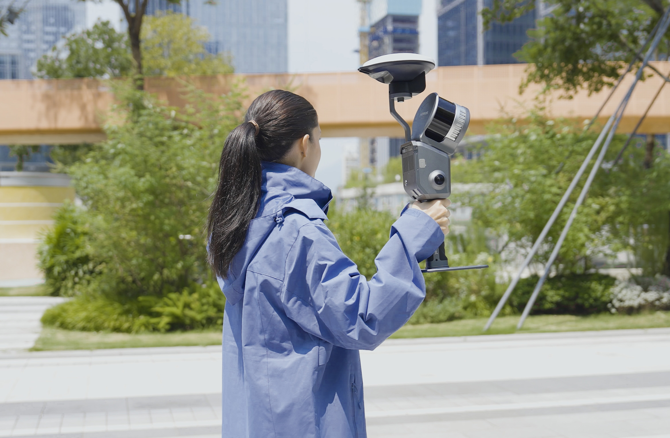
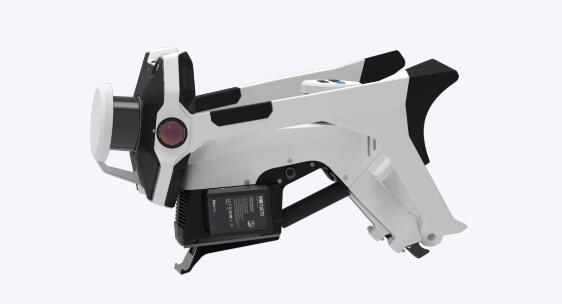
All-in-one, highly-detailed reality capture
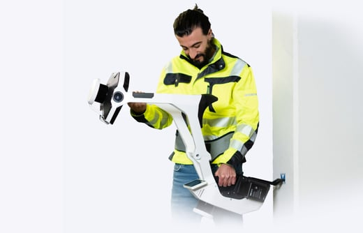
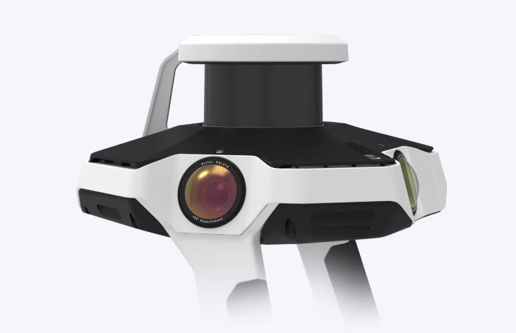
Comprehensively capture 3D measurements with two 32-layer lidar sensors in combination with groundbreaking SLAM software to deliver industry-leading point cloud quality for a wearable device. Four cameras positioned on top of the device take high-resolution, sharp images in every direction for a complete 360º image - all without the operator appearing in the field of view.
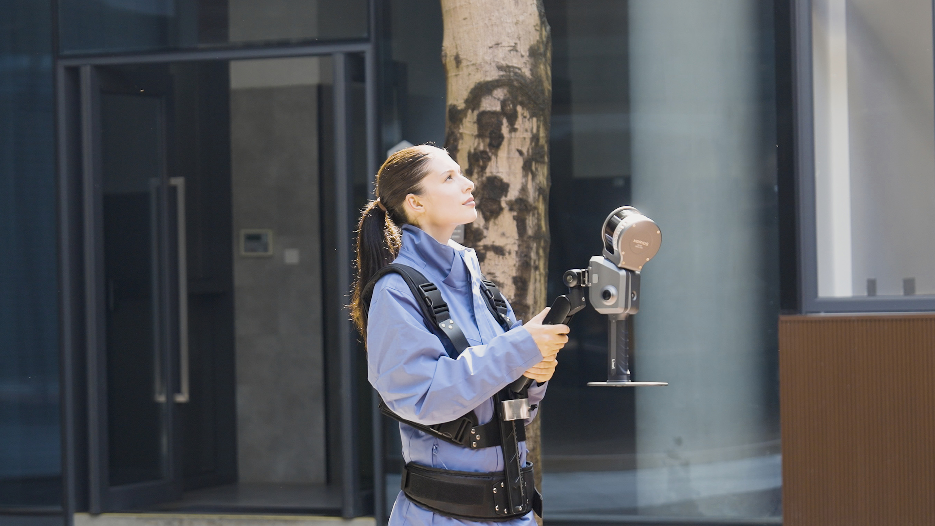
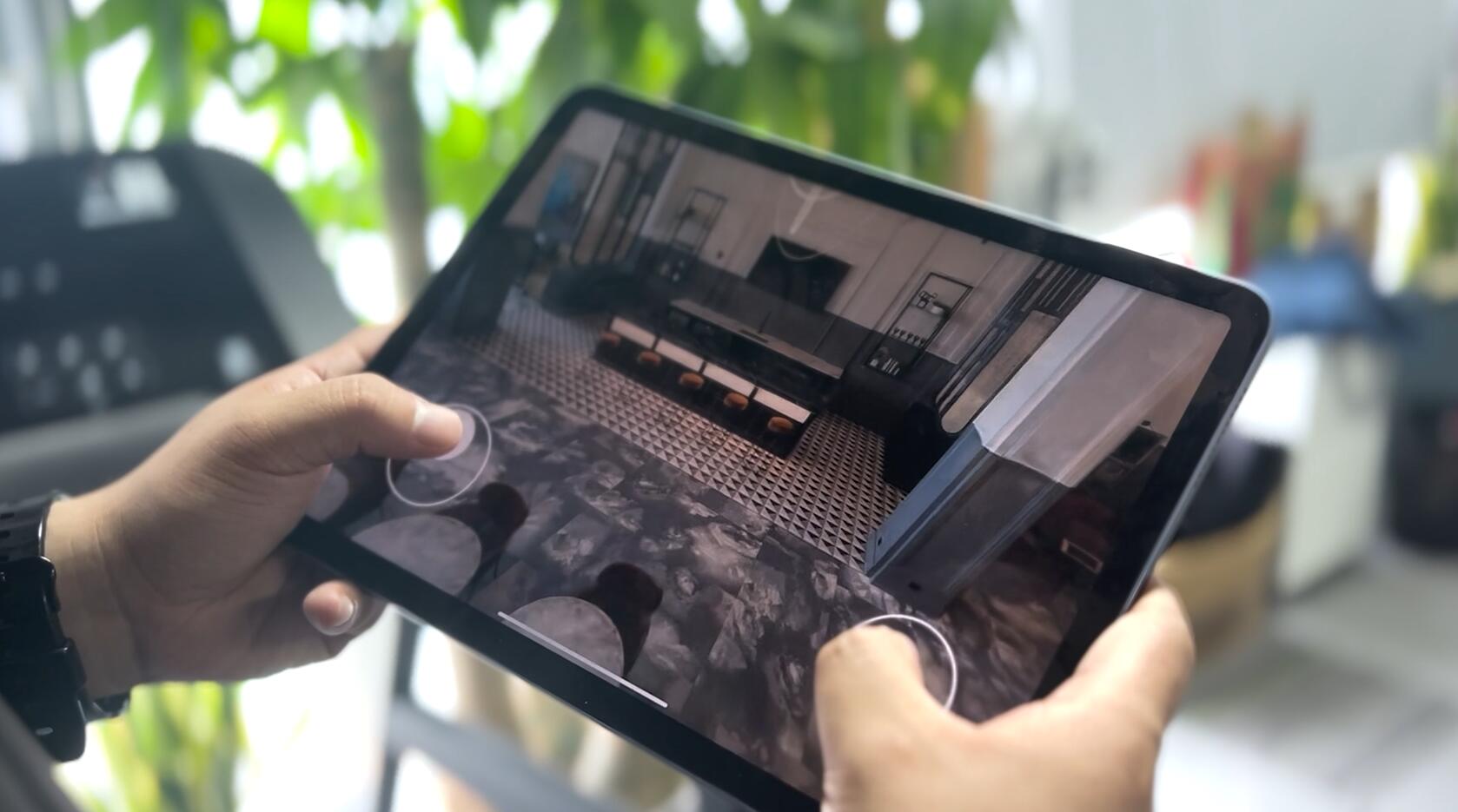
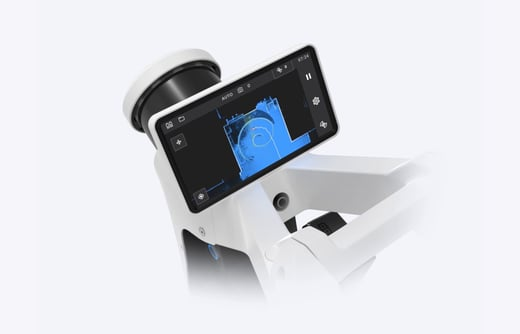
Live scanning feedback
Monitor your scanning progress in real time with a built-in touchscreen interface to ensure complete coverage as you move.
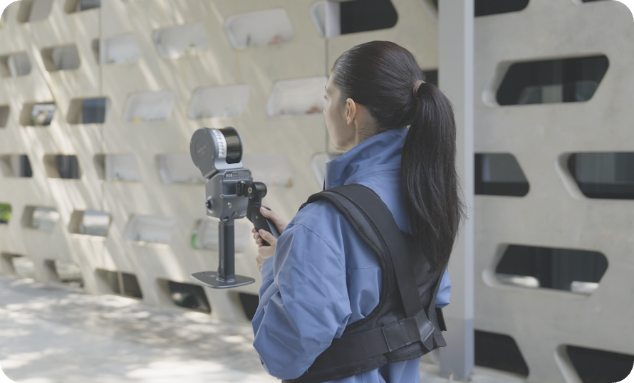
Precision meets ergonomics
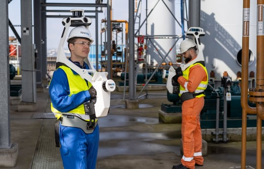
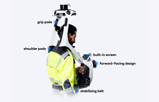
A first-of-its-kind wearable device which enables operators to comfortably scan at the speed of walking. The forward-facing design allows for targeted scanning, together with a built-in screen for optimal viewing.
Geo-registration
NavVis VLX 3 takes your laser scanning and survey workflows to the next level. It’s fully compatible with standard tools in the field, and can capture control points in a local site coordinate system measured by both Total Stations and GNSS rovers. It also supports national and global coordinates for precise geo-registration and alignment of datasets.
Innovative folding design
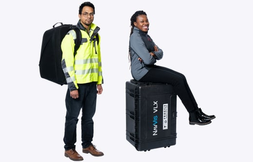
The unique hinged design folds up and fits into a protective case or backpack, so that a single operator can easily transport and set up.
Seamless transportation
With multiple methods of transporting NavVis VLX 3, moving around and between sites has never been simpler. A protective, hard-shelled case on wheels enables air and rail travel, while a compact, sturdy backpack allows you to move to and from your site with ease. *Backpack is currently only available in Europe.
Complete coverage
With a nearly unobstructed field of view, NavVis VLX 3 delivers comprehensive coverage of both indoor and outdoor environments so you can scan more at scale.
Superb accuracy
For accuracy that exceeds industry standards, NavVis VLX is powered by precision SLAM technology that's entirely in a class of its own.
Technical parameter
 NavVis's extremely powerful reality capture technology provides the digital foundation for your ideal world. NavVis VLX 3 and NavVis IVION combine to provide innovative end-to-end solutions to capture a variety of complex environments for professionals in the laser scanning, measurement and AEC industries.
 ∷
∷ 


 Sweep WeChat yards pay attention to us